Satellite Monitoring, Ecological Expertise
Turn satellite data into evidence you can act on
Marmoris supports life below water from space. We help offshore energy developers, conservation programmes, and aquaculture operators use satellite monitoring of coastal water to make decisions they can actually rely on.
Offshore Energy
Satellite monitoring and EIA evidence for offshore wind developers and their consultancies.
Conservation & Blue Economy
Ecosystem and restoration monitoring for conservation organisations, governments, and funders.
Aquaculture & Fisheries
Water quality monitoring and bloom early warning for farms, fleets, and regulators.
Why we exist
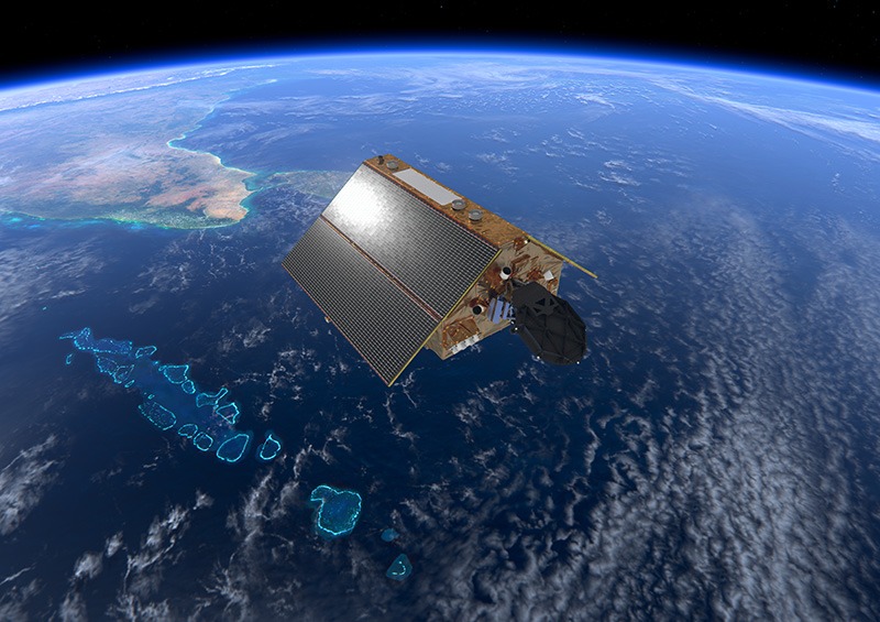
Most of the ocean still goes unmeasured. We change what you can see.
Healthy water underpins every coastal economy, from offshore wind to fisheries to the reefs that protect a coastline. Marmoris brings continuous satellite monitoring of coastal water to the parts of the sea that ground surveys reach only rarely, so the people responsible for it can act on evidence rather than assumption.
What Earth observation makes possible
One continuous view of coastal water, three things it lets you do
Satellites revisit the same stretch of coast again and again, in conditions a survey vessel cannot always reach. We turn that record into something a regulator, a funder, or an operations team can use.
Monitor
Track water quality, turbidity, chlorophyll, and surface temperature over time, across an area far wider than in water sensors can cover on their own.
Detect
Screen for the early signals of harmful algal blooms, ecological stress, and change, so a problem is visible while there is still time to respond.
Prove
Build a defensible, time stamped baseline that stands up in an environmental assessment or a funder report, grounded in the BACI framework, the scientific standard used in environmental impact assessment.
Built on evidence
A specialist team that works the gap between satellites and ecology
Most environmental data providers specialise in one part of the picture, either satellite monitoring or biological sampling, but rarely both. Marmoris exists specifically in that gap. Our methodology is developed with academic partners and grounded in frameworks that regulators and financiers already rely on.
- ✓Methodology developed with ITC and the University of Twente, the University of Bologna, and Wageningen University.
- ✓Grounded in the BACI framework, a before and after, control and impact design used in regulatory environmental work.
- ✓Exploring how satellite indicators and eDNA sampling can work together to catch biodiversity effects standard surveys miss, through our IBIS project.
What we work on
Environmental monitoring for offshore wind
Continuous water quality monitoring, biodiversity evidence, and EIA support for developers and the consultancies who run their environmental programmes.
Explore the sector → Conservation & Blue EconomyEcosystem monitoring and restoration evidence
From tracking coastal ecosystem health to demonstrating restoration outcomes, we turn satellite observation into evidence that conservation programmes, governments, and funders can act on.
Explore the sector → Aquaculture & FisheriesWater quality monitoring and early warning
Continuous tracking of water conditions that affect stock and operations, with early warning for harmful algal blooms, for farms, fleets, and regulatory authorities.
Explore the sector →Supported by


Tell us what you are working on
Every project is scoped individually. Start with a short conversation and we will tell you honestly whether Earth observation is the right tool for your problem.
Start a project →