Satellite Monitoring, Marine Ecological Expertise
Offshore Energy
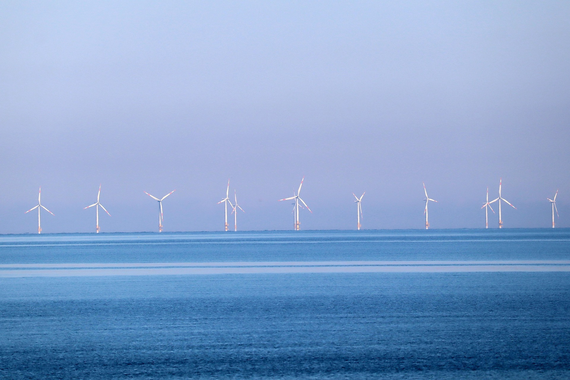
We give offshore wind developers and their consultancies one continuous, satellite based record of the water around their project, from the first baseline survey through decades of operation. That record supports permitting evidence, construction impact monitoring, biological risk detection, and the compliance reporting your licence requires throughout operation.
A single survey only captures one moment. Conditions before, during, and after construction rarely stay the same, and regulators, financiers, and site managers all need to see how they changed. Marmoris keeps that picture current for as long as the project operates, so nobody has to commission a fresh study every time something needs proving.
Built on evidence
Built specifically for offshore wind environmental monitoring, from baseline to operation
Marmoris works alongside the consultancies and developers who already run your environmental programme, pairing satellite monitoring with marine ecological expertise to interpret it. We do not replace your EIA consultancy. We give it a stronger, continuous evidence base to work from, before the permit and after it.
- ✓A methodology developed together with research groups at our partner universities and organisations.
- ✓Grounded in the BACI framework that regulators and financiers already trust.
- ✓Satellite indicators paired with eDNA sampling for baseline data collection, capturing biodiversity effects standard surveys miss, through our IBIS project.
Most environmental data providers specialise in one part of this picture, satellite monitoring or ecological expertise, but rarely both. Marmoris exists specifically in that gap.
What we do
Four ways we support your project, from baseline to operation
See construction impact before anyone has to ask
Continuous water quality and turbidity tracking through construction and operation, so you can show a regulator how conditions changed, and how quickly they recovered.
Catch risk before it costs you
Early screening for harmful algal blooms and other biological risk in and around your project zone, so a surprise does not become a stop work order.
Move through regulatory milestones faster
Multi year baseline characterisation and BACI framework evidence, delivered as a complete satellite data package in 3 to 4 weeks, whether the trigger is permitting, a construction milestone, or a scheduled compliance report.
Open a new revenue angle, not just a cost
Site feasibility modelling for co locating mussel or seaweed cultivation within a wind farm zone, turning a monitoring requirement into a potential return.
Through construction and operation
The work continues long after the permitting stage
Most of the work we do with developers happens during construction and operation, not the permitting window. Once construction starts, most licences carry ongoing environmental reporting obligations for the life of the farm.
- ✓What gets reported: construction impact indicators like water quality and turbidity, biological risk screening results, and the other ecological indicators tied to your specific permit conditions, all tracked on the same continuous record used for the original baseline.
- ✓Who it goes to: primarily your regulator, but the same evidence can support reporting to financiers, insurers, or public disclosure requirements, shaped to whichever audience needs it.
- ✓How it works: we keep the monitoring feed running through construction and operation, and deliver it on the schedule your reporting calendar requires, so your team or consultancy compiles from a live record instead of commissioning a fresh survey each time.
How it works
A clear path from first call to ongoing monitoring
Scoping call
We learn your site, your regulator, and where your timeline is most exposed, whether that is permitting, a construction milestone, or an operational risk like harmful algal blooms. No obligation.
Data collection plan
We define the indicators, resolution, and revisit frequency your case actually needs, covering water quality, construction impact, and biological risk indicators specific to your site.
Analysis and delivery
You receive a defensible, audit ready data package built on the BACI framework, whether it is supporting a permit application, a construction milestone, or a scheduled compliance report.
Ongoing monitoring
We keep the evidence record current through construction and into operation, screening for biological risk and feeding the reporting your licence requires along the way.
Beyond offshore wind
The same approach applies across offshore energy
Our focus is offshore wind. But the same approach, continuous satellite monitoring paired with eDNA and marine ecological expertise, applies to other offshore energy infrastructure too. CO2 storage and hydrogen pilot projects already commission the same kind of environmental impact studies offshore wind farms do, and gas platforms carry comparable obligations under the Mijnbouwwet (the Dutch Mining Act). If your project falls into one of these categories, get in touch, the same continuous evidence base applies.
Questions developers ask
Frequently asked
Does this replace our EIA consultancy? +
Do you monitor during construction, not just before it? +
What do you need from us to start? +
How is data confidentiality handled? +
What timeline should we expect? +
What geographic scope can you cover? +
How does data cost affect the price? +
Take the uncertainty out of your environmental baseline
Start with a scoping call. We will tell you plainly what continuous monitoring adds to your project today, whether that is baseline evidence, construction tracking, or ongoing compliance reporting.
Scope a project →