Satellite Monitoring, Marine Ecological Expertise
Conservation & Blue Economy
We turn satellite and in-situ data into evidence you can act on and defend. Marmoris helps conservation programmes, governments, and funders see what is happening to their ecosystems in near real time. Satellite archives add years of history, showing what caused past degradation and where a new project should focus. Together, they build a record that funders and regulators can rely on.
Restoration is hard to prove. A planted reef or a recovering seagrass meadow changes slowly, unevenly, and often out of sight. Marmoris brings a continuous, wide area view that in-situ monitoring alone cannot, so the difference your work makes becomes visible and reportable.
What we protect
Key coastal habitats
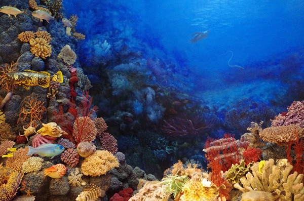
From coral reefs to seagrass meadows to mangrove forests, these are the coastal ecosystems most exposed to change, and the hardest to monitor consistently from the ground.
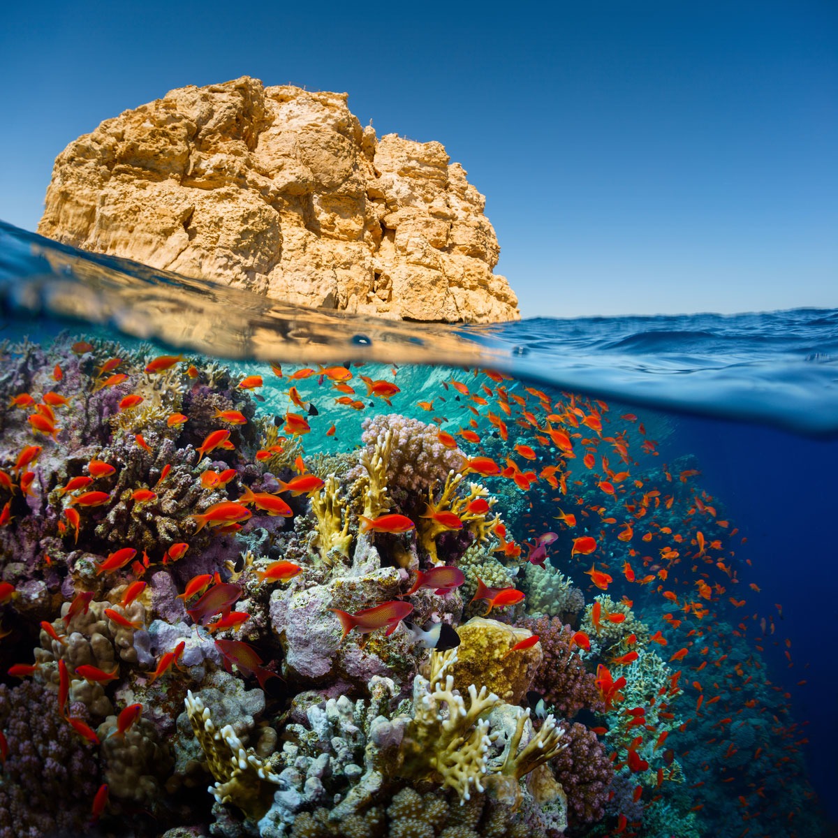
Coral reefs
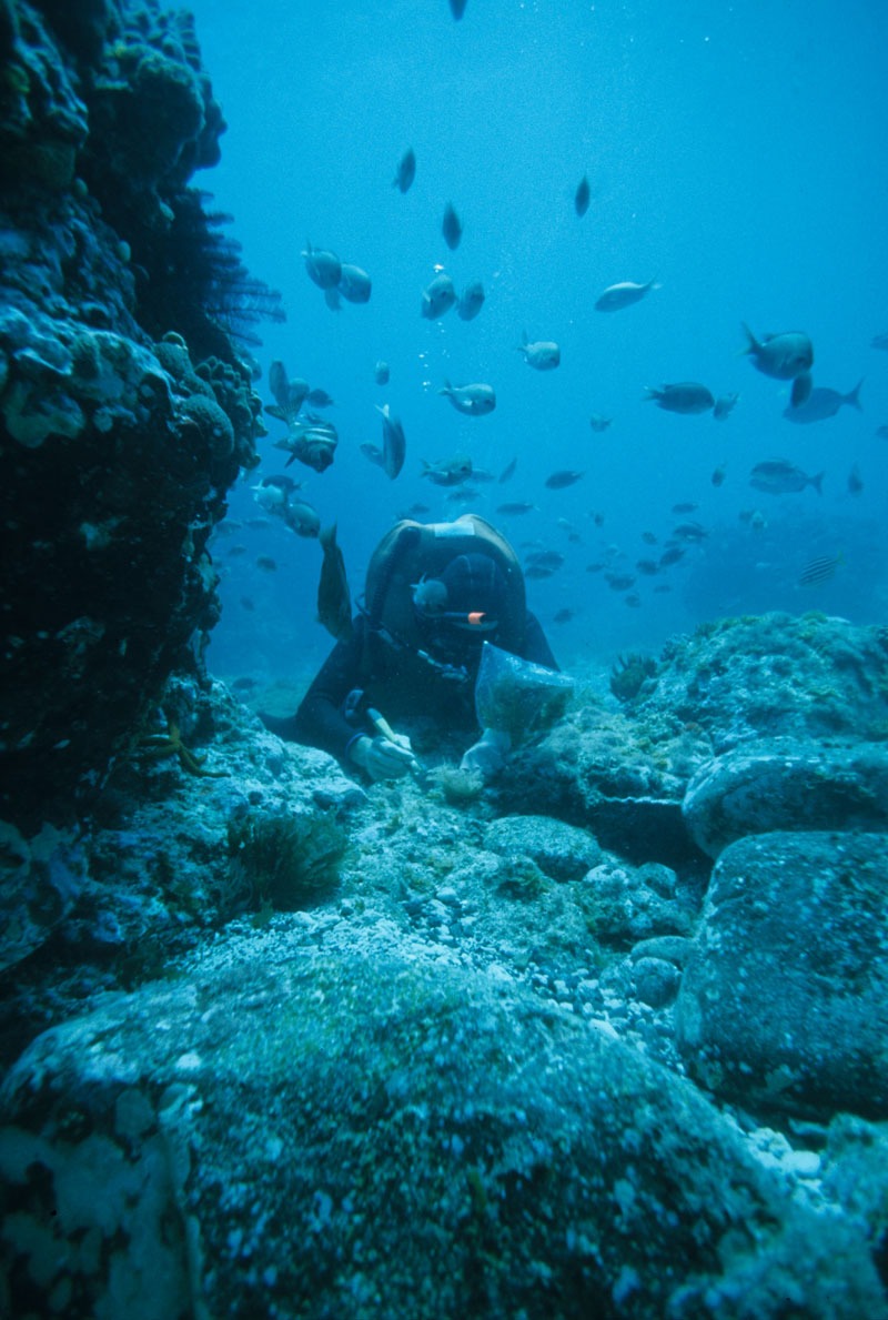
Reef structure and cover are two of the clearest early signals of stress, from bleaching events to sedimentation. We track change here down to individual reef sections.
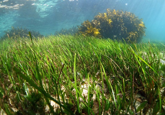
Seagrass meadows
Seagrass stores carbon, stabilises sediment, and shelters juvenile fish, but it degrades quietly. Continuous monitoring catches loss before it is visible from the surface.
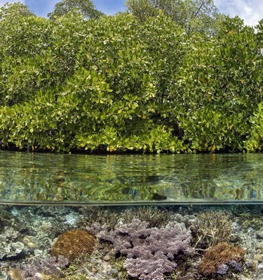
Mangroves
Mangroves protect coastlines and hold some of the highest carbon densities of any coastal habitat. We track extent and health over time, so loss or recovery is measurable rather than assumed.
Built on evidence
Monitoring designed to be defended, not just collected
Our methodology draws on Copernicus Marine Service products and Sentinel satellite data, and is grounded in the BACI framework, a before and after, control and impact design that gives a result something to be measured against.
For conservation programmes, DORY is the proof mechanism. It brings near real time water quality indicators and habitat layers together in one place, so the change you are reporting is something a funder can see, not just a number in a spreadsheet.
What we do
From monitoring to defensible evidence
Prove the restoration actually worked
BACI based restoration monitoring that compares your site against a control over time, so improvement is attributable, not just hoped for.
Catch ecological stress before it is a crisis
Continuous water quality and chlorophyll tracking flags change early, while there is still a decision to make rather than a loss to report.
Get a real warning window, not a surprise
Early warning for harmful algal blooms and coral bleaching conditions, so response plans start before the damage is done.
Track sargassum before it reaches the coast
Marmoris contributes nearshore satellite monitoring to SargassumNL, a consortium project backed by the Netherlands Enterprise Agency (RVO) and the Dutch embassy in Mexico.
In the field · Bonaire
A masterclass with the people who manage the reef
In April 2026 Marmoris ran a masterclass in Bonaire, working with the Dutch Ministry of Infrastructure and Water Management, STINAPA, Tourism Corporation Bonaire, and the Bonaire local government. The focus was practical: how satellite observation can support the people already responsible for protecting these waters.
Our platform
DORY, your reef and water in one view
DORY is a monitoring platform built during our ESA BIC incubation. It brings near real time water quality indicators together with reef and seagrass location and dive centre layers, so the state of a site is something you can look at rather than reconstruct.
DORY is available through a guided walkthrough rather than a public dashboard. Book a demo and we will take you through it directly, including what a deployment for your location would involve.
Book a demo →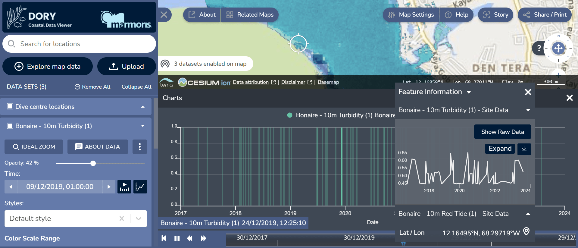 Click to enlarge
How it works
From first call to a record you can report on
Scoping call
We learn your site, your funder, and what you need to prove to keep the programme funded.
Baseline and control
We set up a BACI design so change at your site can be measured against a comparable control.
Continuous monitoring
Indicators and habitat layers update over time, viewable together through DORY.
Reporting
You receive evidence shaped for a funder or regulator, not raw data you have to interpret.
Common questions
Frequently asked
Does this replace our in-situ monitoring? +
Will the evidence satisfy our funder? +
Can we access DORY directly? +
What habitats can you monitor? +
How does data cost affect the price? +
Make the difference your work makes visible
Start with a scoping call, or book a walkthrough of DORY. We will tell you honestly what the evidence can and cannot show.
Start a project →