Satellite Monitoring, Marine Ecological Expertise
Aquaculture & Fisheries
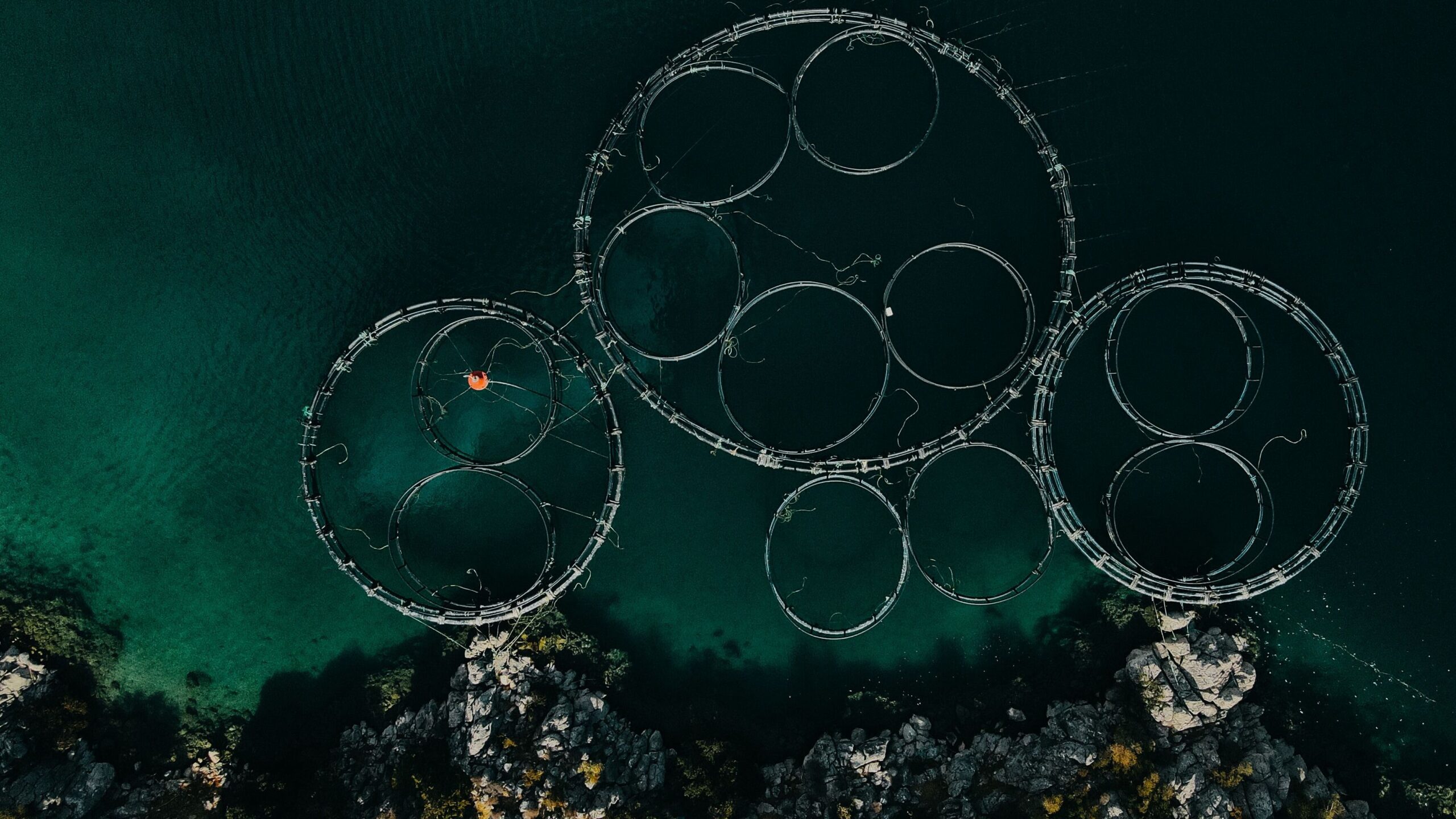
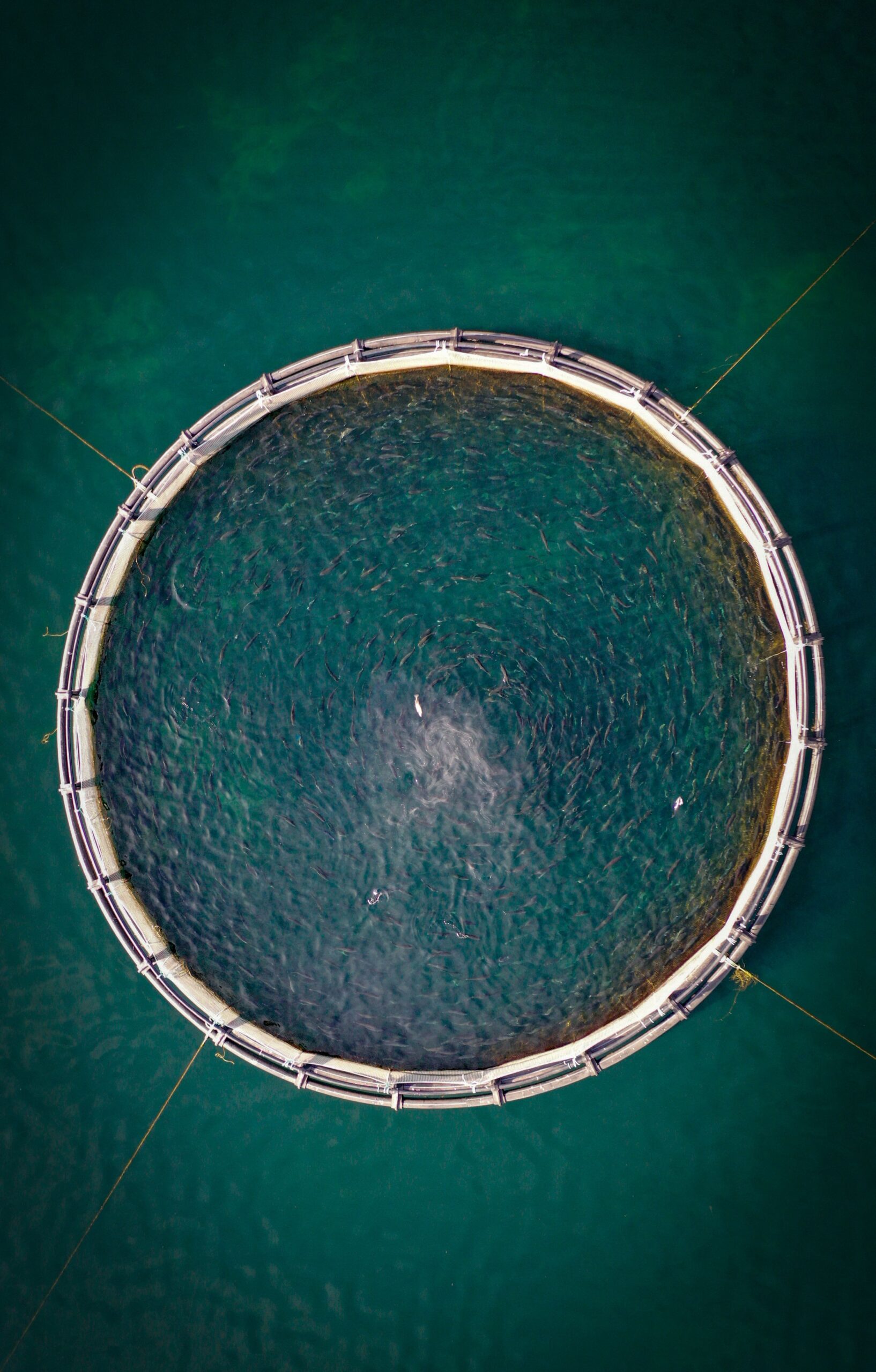
Marmoris provides continuous water quality monitoring for farms, fleets, and the authorities that oversee them. We track the conditions that affect stock and operations, offering early warning for harmful algal blooms so you have lead time to act rather than react.
Harmful algal blooms can escalate from a minor anomaly to a total loss of stock within days. Marmoris focuses specifically on this problem, monitoring the conditions that signal a bloom forming, rather than offering a broader service we are not specialised in.
Why a focused approach
We add the view your in water sensors cannot reach
The market for water quality and harmful algal bloom monitoring already includes established providers across Europe. Rather than compete on breadth, Marmoris focuses specifically on continuous water quality tracking and early warning.
We work alongside your existing in water sensors rather than replacing them, adding the wide area, continuous satellite view that ground based instruments cannot provide on their own. A sensor tells you what is happening at one point. We show you what is moving toward it.
What we do
Three ways we protect your water
We work alongside your existing in water sensors rather than replacing them, adding the wide area, continuous satellite view that ground instruments cannot provide on their own.
Continuous water quality monitoring
Ongoing tracking of chlorophyll a, sea surface temperature, turbidity, and the wider conditions that affect stock and operations across your whole site.
Early warning for harmful algal blooms
Early screening for the specific conditions associated with harmful algal blooms, so a response can begin while you still have options.
Monitoring at fleet and regulatory scale
A wide area satellite view that supports not just individual farms but fleets and the authorities that oversee them, across many sites at once.
How it works
Simple to set up, continuous once running
Scoping call
We learn your site, your species, and the conditions that put your stock most at risk.
Monitoring setup
We configure the indicators and thresholds that matter for your location.
Continuous tracking
Your water is monitored against those thresholds on a near daily satellite revisit.
Ongoing support
You get early warning when conditions shift, and a person to talk it through with.
Questions operators ask
Frequently asked
Does this replace our in water sensors? +
Does it work for my species and site? +
How is this different from a generic dashboard? +
Can you support certification requirements? +
How fast is the warning? +
What geographic scope can you cover? +
Give yourself the lead time a bloom won’t
Start with a scoping call. We will tell you honestly whether satellite early warning adds to what you already monitor.
Start a project →